Black River Watershed


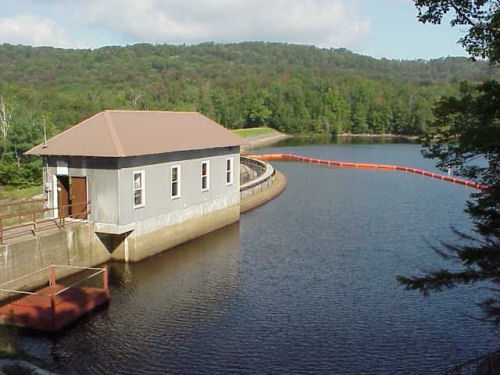
The Black River watershed encompasses an area of 1916 square miles in Jefferson, Lewis, Oneida, Herkimer and Hamilton Counties. The Black River flows from the Adirondack Mountains northwest to Lake Ontario. The two main Black River tributaries are the Moose and Beaver Rivers. On the Beaver River, the Regulating District operates the Stillwater Reservoir, which has a 10.5-square-mile surface area and a 48-mile shoreline. On the Moose River, the Regulating District operates the Fulton Chain of Lakes via dams at Old Forge and Sixth Lake. The combined storage capacity of these reservoirs is over forty billion gallons. Together, this network of dams and reservoirs has greatly reduced flooding and remains the source of water flow integral to the hydroelectric generating projects and industrial operations in Jefferson, Lewis and Herkimer Counties.
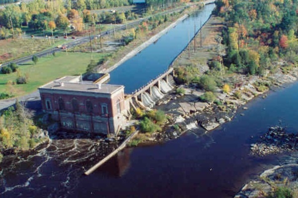
The Regulating District also owns and maintains a dam at Hawkinsville on the Black River in Oneida County.
Links:
Black River Area Apportionment
Reservoir Elevations (Historical & Actual)
Information on Hawkinsville Remediation and Removal Study
Old Forge & Sixth Lake Dam Rehabilitation Projects
Stillwater Power Purchase Agreement
1993 Amendment to Stillwater Power Purchase Agreement
